
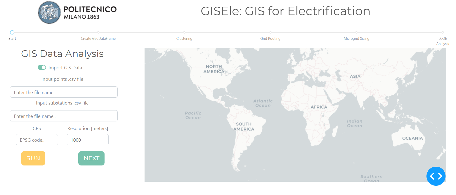
Gisele (GIS for electrification) is a open source Python-based tool. It has been developed with the goal of improving the planning of rural electrification in developing countries. The tool uses GIS and terrain analysis to model the area under study, groups loads using a density-based clustering algorithm called DBSCAN and then it uses graph theory to find the least-costly electric network topology that can connect all the people in the area. The ultimate goal is to define the LCOE of decentralized and grid connected solutions.
The methodology of GISEle consists of three main steps: data analysis, clustering and grid routing. During the initial phase of data gathering and analysis, GIS data sets are created in order to properly map several information about the area to be electrified. Some of these information are: population density, elevation, slope and roads. They are all processed using a weighting strategy that translates the topological aspect of the terrain to the difficulty of line deployment. Then, DBSCAN is used to strategically aggregates groups of people in small areas called clusters. The output is a set number of clusters, partially covering the initial area considered, and for each of them the optimal electrification strategy is defined. The optimal distribution network topology is designed by means of graph theory algorithms and the integration with the tool Michele, allows to identify the optimal generation mix of a microgrid supplying the load. The LCOE of the microgrid is then compared to the LCOE of grid connection in order to propose the optimal electrification solution.
Gisele is freely available on Github.
References:
Corigliano, S., Carnovali, T., Edeme, D., & Merlo, M. (2020). Holistic geospatial data-based procedure for electric network design and least-cost energy strategy. Energy for Sustainable Development, 58, 1-15. https://doi.org/10.1016/j.esd.2020.06.008